Vidalia Georgia Regional Airport. Just happened to be on our track and at a good angle. Otherwise that's all I have to say about that....
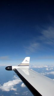
You can't really see it from this shot but the little whispy clouds over the wing are about a 1000 feet above and we are flying just under them and they look like little jelly fish hangin down. Maybe at a later date I will post the video to show them going by.
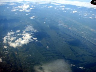
Beautiful Appalachian Mountains near Tazewell County Virgina.
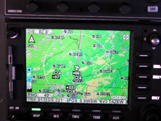
Same place where the previous picture was taken. As you can see on the map the yellow tints represent higher terrain. The mountains run north northeast to south southwest.


No comments:
Post a Comment